
20 November 2024
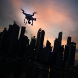
We all know how useful drones can be—at least most people do. But for a long time, I didn’t fully grasp their potential beyond a video perspective. Sure, I noticed the evolution: GoPros mounted on drones, built-in cameras progressing from 1080p to 2K, 4K, and even 4K 120fps. Drones grew smaller, more powerful, and incredibly accessible. It’s amazing how pocket-sized drones today often outperform the bulky models I started flying with years ago.
My journey with drones started in the film and photography world, producing adventure and outdoor television, commercials, and brand films. Drones played a huge role in capturing breathtaking shots, blending my love for the outdoors with my creative profession. Traveling the world, experiencing incredible places, and using my lens to tell stories has been nothing short of a blessing.
But after nine years in the industry, I hit a point where I needed something more. That "been there, done that" feeling crept in, and I craved a new challenge. One day, while taking a break from editing and scrolling social media, I stumbled across something extraordinary: a video of someone using a drone with a thermal camera to help outdoorsmen recover their game. It blew my mind.
I didn’t even know drones with thermal cameras existed, let alone that they could be used for something so practical and innovative. It was genius. Not only was it high-tech problem-solving, but it also had a purpose deeply rooted in respecting nature.
Hunting and Conservation: A New Perspective
Let’s pause for a second. Regardless of where you stand on hunting, there’s a core principle that ethical hunters follow: never let an animal go to waste. Harvesting an animal is about feeding families and respecting wildlife. That’s where drones with thermal cameras come in. They provide an unparalleled ability to recover game efficiently, minimizing waste and ensuring ethical practices.
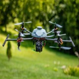
Inspired by that social media post, my soon-to-be business partner and I purchased a thermal drone within 24 hours. I was thrilled: flying drones and helping outdoorsmen achieve their goals? It felt like a dream.
But as quickly as the dream took off, reality hit. The state of Michigan announced that using drones to recover animals was illegal. Politics and reasoning aside, I was left with a pricey piece of tech and no way to use it. Part of me accepted the loss, but another part knew there had to be another way.
The Accidental Discovery
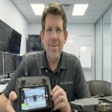
One morning, while fiddling with the drone, I noticed a button I’d ignored dozens of times: Mission. Curious, I clicked it. Suddenly, I was setting up a “mission” in my backyard without fully understanding what was happening. I launched the drone, and it took off, camera angled straight down, snapping photos as it flew in a grid pattern. Click...click...click.
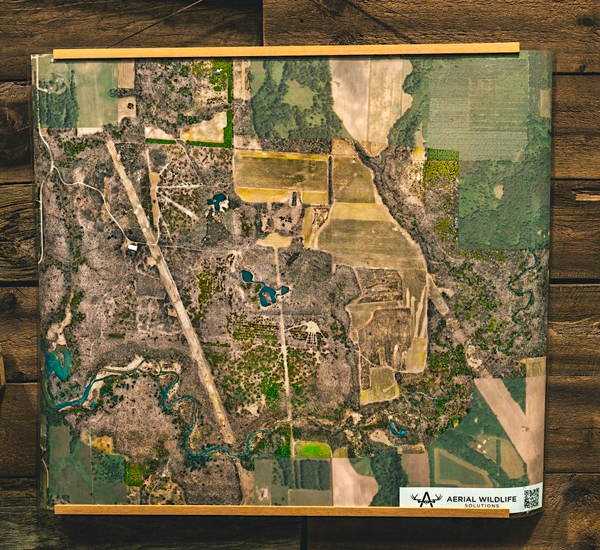
When it landed, I had about 800 images of my property. I didn’t know what to do with them, but with some research, I discovered the concept of orthomosaic mapping—essentially stitching these images together to create a highly detailed, aerial view of the land. That’s when the lightbulb went off.
Outdoor enthusiasts have relied on satellite imagery for years to scout land and plan hunts, but satellite images lack detail. What I saw in that first orthomosaic map was game-changing: precision, clarity, and a level of detail that could transform how people see their property.
The Birth of Aerial Wildlife Solutions
And just like that, Aerial Wildlife Solutions was born. In our first year, we created around 15 orthomosaic maps for hunters and landowners, using GeoNadir to process the images and export them as TIFF files. With my background in photography and video editing, we turned those maps into stunning visuals—every outdoorsman’s dream view of their property.
What started as a backyard experiment quickly evolved. We began flying properties across Michigan, incorporating LiDAR technology for 3D-style mapping. Today, we partner with a top-tier printing facility, offering not only detailed property maps, but also large-scale prints on premium materials.
Expanding Our Reach: Partnering with Like-Minded Pilots
As Aerial Wildlife Solutions continues to grow, I’ve found an exciting opportunity to expand our services beyond Michigan and into new states. To make this happen, I’m teaming up with other passionate drone pilots who share my love for the outdoors and understand the importance of precision in mapping and how it can benefit the outdoorsman.
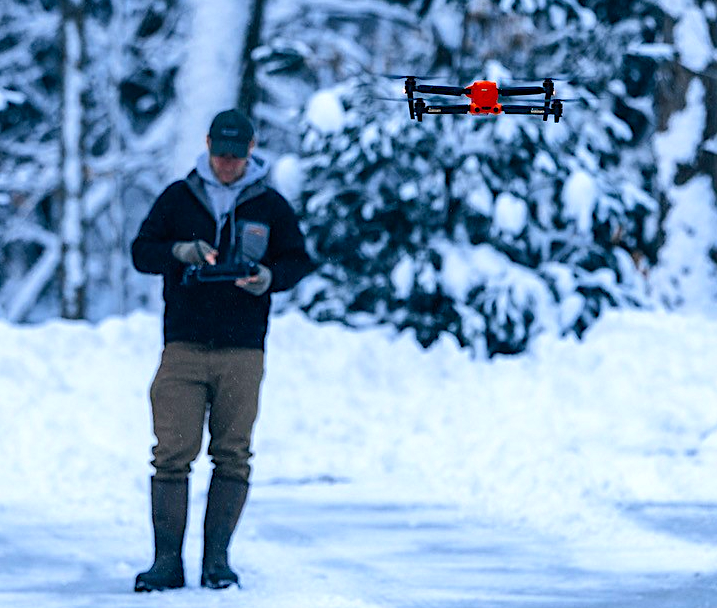
The key to this expansion is collaboration. Working with experienced pilots in different regions allows us to cover more ground and bring our services to more landowners and hunters who can benefit from high-quality aerial maps. These pilots are just as passionate about the outdoors as we are, and they have the expertise to fly in various terrains, whether it’s dense forests, open fields, or rugged landscapes.
But here's the catch: while we’re growing our network of pilots, every map still goes through Aerial Wildlife Solutions for editing and final processing. Our team handles the post-flight work to ensure that each map meets the high standards we've set for quality. Whether it’s stitching the images together into a detailed orthomosaic or refining the final product with expert editing, we make sure that every client receives the absolute best product possible—no exceptions.
By working with trusted pilots in different states, we can offer faster service and reach more people, but we maintain full control over the quality of the final product. This ensures that, no matter where our clients are located, they’ll always get the same level of detail, clarity, and precision that Aerial Wildlife Solutions is known for.
This expansion has been a thrilling journey, and I’m excited to continue building a network of like-minded individuals who share our vision. Together, we’re making it possible for even more outdoorsmen, landowners, and hunters to experience the power of aerial mapping—while ensuring that every map is meticulously crafted by the Aerial Wildlife Solutions team to deliver the best results possible.
Why It Matters
So why does this matter to hunters and landowners? First, land is one of the best investments you’ll ever make. A detailed map helps you understand your property like never before, whether you’re scouting trails, planning habitat improvements, or simply admiring the big picture.
For hunters, orthomosaic maps are a game-changer. They provide the “big picture” while also highlighting the “little details” that traditional maps miss. Knowing your land at this level of detail is invaluable—it’s like having a secret weapon for success in the field.
The Journey Ahead
What began as a way to make a few extra bucks recovering deer has transformed into something far greater. At Aerial Wildlife Solutions, we’re not just mapping land; we’re helping people connect with it on a deeper level. Whether you’re a hunter, a landowner, or just someone who loves the outdoors, we’re here to bring your property into focus—literally and figuratively.
Looking back, I’m still amazed by how one random “mission” in my backyard sparked this entire journey. And the best part? We’re just getting started.
Learn More