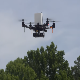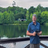
Above: Bruce Millett, an assistant professor in the Geography and Geospatial Sciences Department at South Dakota State University, provides an explanation of drones to students in 2017.
Becoming a certified commercial drone operator gets an unmanned aircraft system pilot off the ground, but the key to success is having the knowledge to collect and assess the data drones collect, according to faculty within the Geography & Geospatial Sciences Department at South Dakota State University.
The department offers a certificate and a minor in unmanned aircraft systems. The minor, which is tentatively set to start in fall 2023, will require 18 credit hours. The certificate requires 12 hours.
"A certificate is designed for a person who is in the workforce, and who wants to come back and get some skills, "says department head Bob Watrel.
The cornerstone class is "GEOG 270, Introduction to Small Unmanned Aircraft Systems." After taking that class, participants have the knowledge to pass the Federal Aviation Administration’s Part 107 Remote Pilot Certificate—which is a requirement for commercial operation of a drone.
That is a 60-question, multiple-choice test that participants have two hours to complete. Applicants must be at least 16 years of age, but there is no hands-on skill test.
"SDSU began its drone instruction in fall 2017, and 195 students have taken GEOG 270 since," says Watrel. "Byron Noel was new to the department when the program began. He had just received his master’s degree in geographic information systems. Noel enrolled in the master’s program in August 2014, and during those years developed a strong relationship with his adviser, assistant professor Bruce Millett, and helped with his research."
"One option was balloons, but they were discouraged due to South Dakota's generally windy conditions," explained Millett. "Kites were used, but had several limitations. Manned aircraft required long term planning and were expensive."
It was determined that small unmanned aircraft systems fitted with the appropriate sensors provided a fast, high resolution, and low cost alternative .
An Amazing Discovery
The duo sought funding to put a camera on a drone, but policies were still in development, so no state funds were available. Noel ended up using his tax refund to buy his own and a Sony camera.
“It blew us away with how well it worked,” remembers Noel, who now lives in Dawson Creek, British Columbia. “Bruce’s colleagues at USGS-EROS Center [a U.S. Geological Survey facility] were very interested, and we did a couple of demos for them. We actually helped figure out a few techniques for research, and they’re still using those program guidelines for using drones. We figured, 'There is something to this. It’s going to be something big.'"
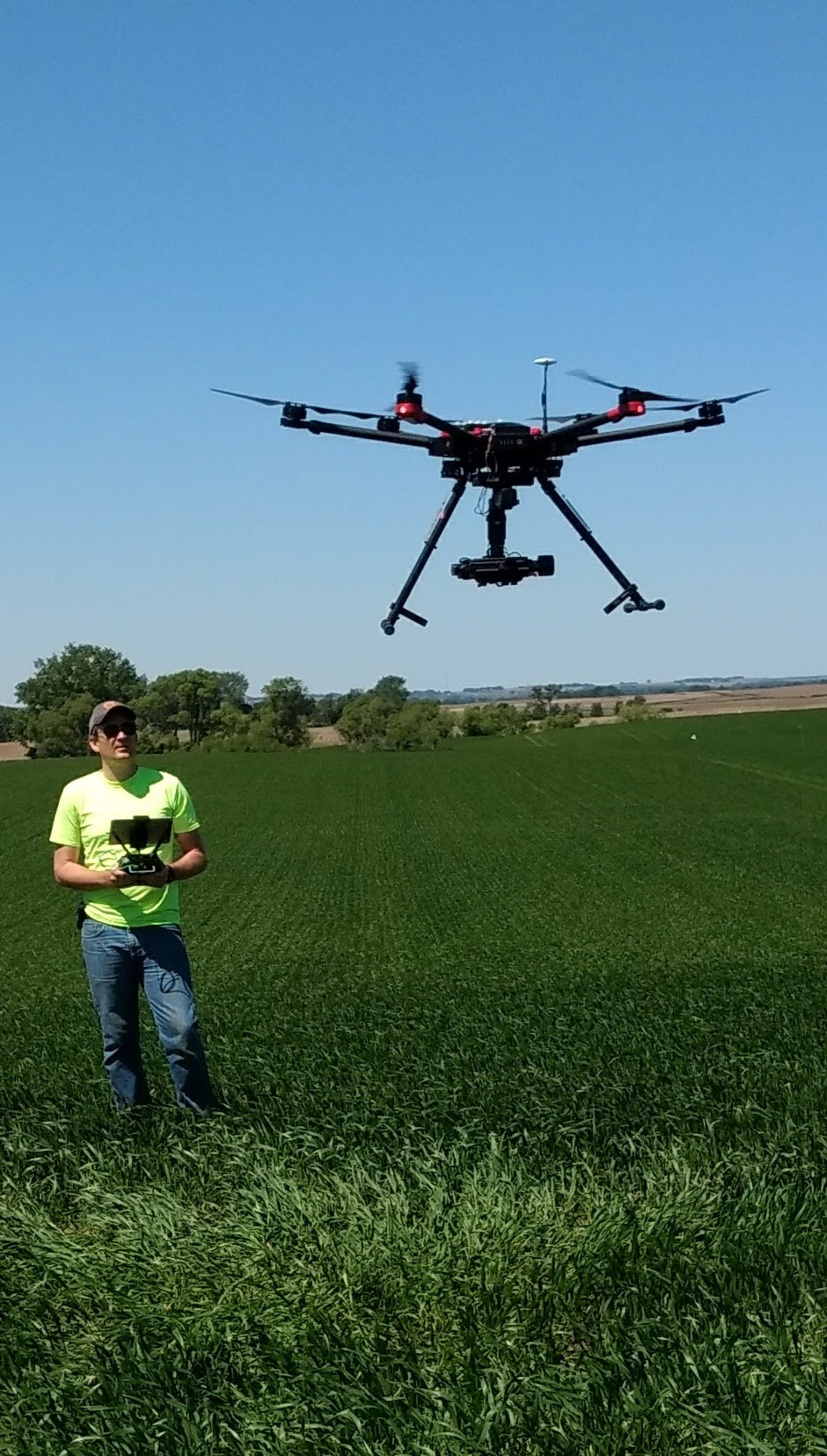
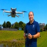
Above: Byron Noel operates a drone while working as a field research technician for The Climate Corporation (a Bayer/Monsanto subsidiary) when he also worked part time on the SDSU faculty in 2017.
They were right. By 2020, the commercial drone market was pegged at $13.44 billion, and is expected to double every two years through 2028.
Noel—who had a teaching background—and Millett were discussing his master’s capstone project.
“Why don’t you write curriculum for one of our classes so we can integrate this new tool into the classes we already have?” suggests Millett.
Noel, who was interested in giving back to the department, concurred. Working with officials at SDSU and the Board of Regents, they got the necessary paperwork completed to add drone instruction to the GIS curriculum.Classes began in fall 2017.
“Students were all very happy, and the classes were full," says Noel. "We were proud of that.”
SDSU Experience Provided Needed Foundation
Noel was teaching part time at SDSU when he received a job offer from Big Bend Community College in Washington, which had received a five-year, three-million-dollar federal grant to integrate drone education into colleges around the state.
“It was a chance to mold a program from the ground up,” says Noel, who started at Big Bend in 2018. "Very quickly, I found myself at the forefront of this technology.”
Noel did things such as working with an archelogy department to map a dried lakebed that once was the site of a tribal village, and he worked with Grant County, Washington, Search and Rescue to train law enforcement on how drones can be used to scout drug raids and in search operations. Noel currently works with AgSafe, a Canadian nonprofit that offers safety training to British Columbia farmers and ranchers.
“Flying the drone is not what gets you the job," counsels Noel. "Being able to use the drone to collect data and make a map does. The drone is a tool we use in standard industry today.”
Foundation for Career Outside of Aviation
One of Noel’s first students at SDSU was Hannah Mogck, who was majoring in geography, but wasn’t sure what she wanted to do for a career. Millett suggested she learn about drones. Mogck was in that fall 2017 class, passed the FAA Part 107 exam, and used drones during an internship with a civil engineering firm before graduating in December 2019.
With those skills, she did drone surveying work in Louisiana, but it proved to be a short-term job because COVID-19 closed operations early in 2020.
She returned to South Dakota and was hired as the GIS management analyst with the Department of Public Safety in Pierre. Mogck handles the majority of GIS work with that department, including map and map-centered application creation, database management, and internal information dissemination. It doesn’t involve actual flying of drones, but the background is useful.
“The highway patrol uses drones for multiple areas, and understanding the terminology and speaking the language of the drone operators is invaluable,” says Mogck.
From Grad Student to Program Director
Julie Liedholt is a 2019 graduate of the geography and geospatial sciences program who is just finishing her master’s degree in the same program. In February, she was hired as an unmanned aerial vehicle instructor in the program at Lake Area Technical Institute in Watertown, and now is helping expand that program after teaching weather and climate labs at SDSU after her graduation.
Like Mogck, she got her commercial pilot’s license after taking the SDSU drone class. Liedholt’s graduate research had her exploring historical and current limber pine distribution in the Black Hills, examining the linkages between physical geography and environmental hazards—such as the effect spores from white pine blister rust have on limber pines. Her research work is complete and she hopes to wrap up her thesis this fall while also writing curriculum for the Lake Area Technical Institute classes.
Drones Connect Everything
“Drones are going to be the future," says Liedholt. "They’re going to be connected to everything. The military had drones before the Vietnam War. Now, they’re a useful tool in everything from real estate to pipeline inspections. It’s faster and cheaper with a drone than a manned aircraft. I think it is going to be like a PC. The units will just keep getting smaller. That SDSU class was a big eye opener for me to see the applications for drones. I thought, 'This is really cool and useful.’ And then the love came for drones.”
Meanwhile, faculty and graduate students in GIS and other fields use the program’s drones for research as the cost of sensors come down.
“The use and knowledge of drones is changing by leaps and bounds,” says Liedholt.