Sky Ladder Drones
Sky Ladder Drones
Suite 234 - 2110 Artesia Blvd., Redondo Beach, California, United States - 90278- Unmanned Aerial Systems (UAS)
- Robotics
- Geospatial Data Analysis
- Sky Ladder Drones
- 973-769-3490
- frank@skyladderdrones.com
- skyladderdrones.com

Highlights:
Sky Ladder Drones™ (a Flying Lion Inc. Company), a nationwide drone services provider across the U.S., is built by geospatial veterans who believe progress comes from pairing cutting-edge technology with genuine listening, collaboration, and integrity. We help organizations see their world more clearly by transforming complex environments into precise, actionable intelligence—powered by advanced robotics, autonomous workflows, reality data capture, and AI-driven analytics. As an enterprise-grade UAS inspection provider, we deliver high-value drone mapping services, producing engineering-grade drone data, high-resolution orthomosaics, and survey-ready deliverables that support confident decision-making across every stage of the built environment.About:
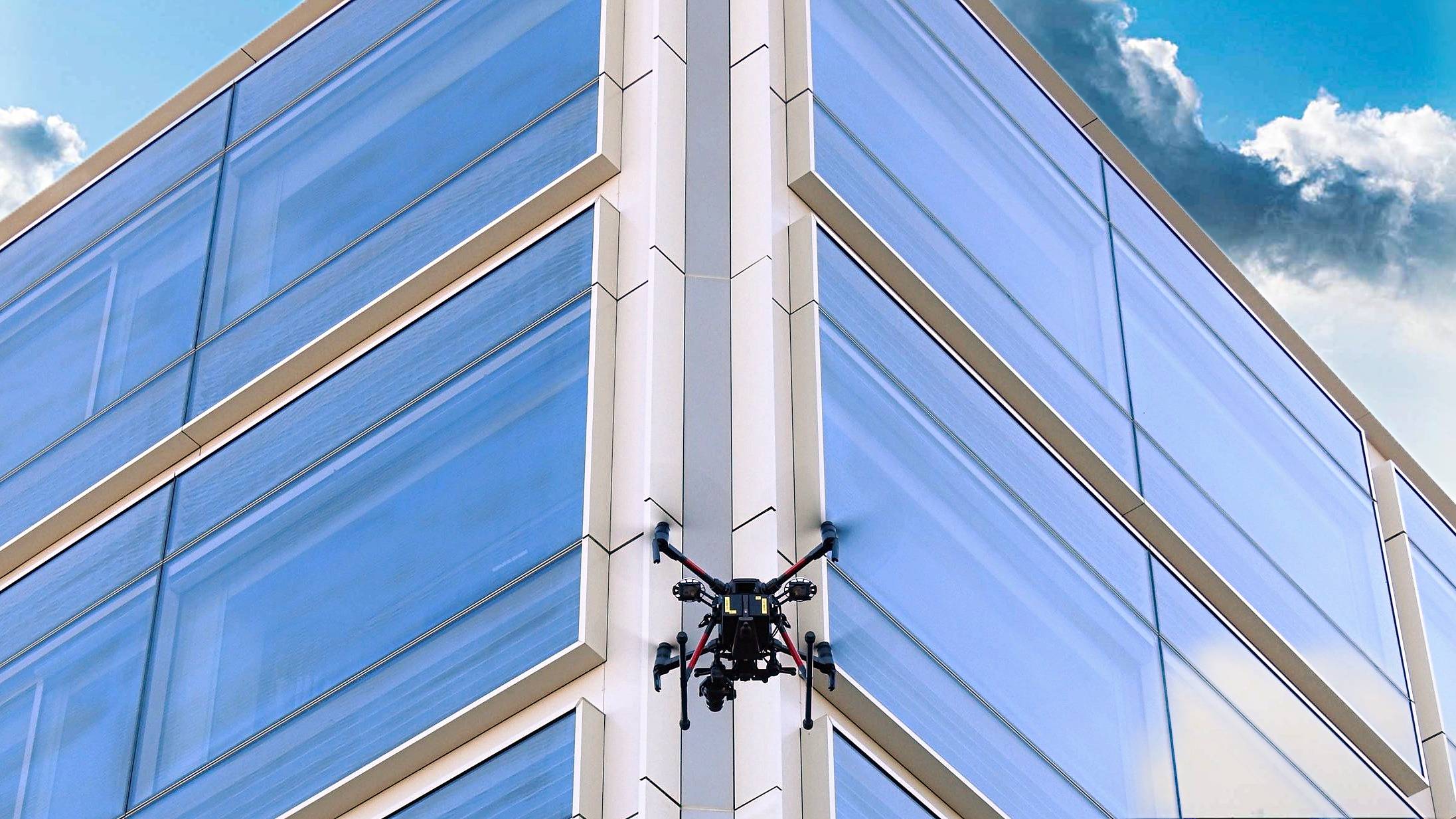
As one of North America’s leading UAS service providers, we don’t just deliver data—we turn it into meaningful action. Our engineering-grade ecosystem is built on strict FAA compliance, disciplined workflows, and repeatable RTK/PPK precision, ensuring survey-grade accuracy across every mission. What truly sets us apart is our human-centered approach: taking the time to understand each client’s goals, constraints, and risks before designing the solutions that move their projects forward with certainty and clarity. We ensure consistent, repeatable, and compliant data collection across multi-site construction, AEC, energy, utilities, and infrastructure projects. From confined-space robotics and enterprise geomatics to high-rise façade inspections and autonomous remote operations, we capture, measure, and model the physical world with accuracy that strengthens capital planning, reduces field exposure, and accelerates project workflows. Our capabilities support the full lifecycle of planning, design, construction, and asset management and include: - Aerial / Terrestrial LiDAR (Engineering-Grade) - Confined Space Inspection (aerial, terrestrial, subterranean) - Photogrammetry & High-Resolution Orthomosaics - Aerial Thermographic Inspection (Thermal IR) - High-Rise Façade Inspections - 3D Digital Twin Creation & Reality Modeling - Full-Scale Topographical Mapping - OGI, GPR, Multispectral, and Submersible ROV Remote Sensing - Drone-in-a-Box Operations (enterprise security, scheduled remote access mapping, autonomous surveillance) At Sky Ladder Drones, we unite innovation with a human touch—delivering clarity, confidence, and a true partner committed to your mission.
In the Press: