Jesse Kolodin

Jesse Kolodin
FAA Part-107 UAS Drone Pilot
- Adobe PhotoShop
- Aerial Inspections
- Agriculture
- Drone
- Environmental Monitoring
- FAA Part 107 Test Lessons
- Flying Lessons
- Golf Courses
- Infra-Red Photography
- Mapping
- Oil & Gas Industry
- Real Estate
- Roofing Inspections
- Urban Planning
About:
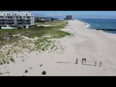
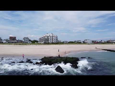
I have held an FAA Part-107 UAS Pilot's license with a variety of drone piloting experience for 4+ years now. I have a Ph.D. in environmental science and mgmt. Here is where I first utilized medium to large-sized commercial drones to survey and map morphological changes at the shoreline. My skills include using a variety of flight interfaces (DJI, DroneDeploy, and UgCS) and post-processing software (ESRI ArcPro and Drone2Map). I have also taught higher-education level undergraduate/graduate courses in drones, with a curriculum overview that includes FAA Part-107 UAS examination test prepping, in-flight training, training for the use of flight interfaces, and post-processing software. Besides survey mapping, I am skilled in real estate photography (and photogrammetry), urban/municipal surveying/planning, agricultural NDVI quantification/identification using multispectral imagery, and a variety of applications using a thermal camera (both day and night).
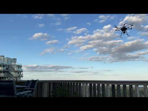
Equipment:

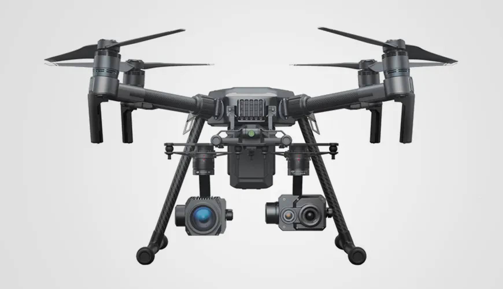
DJI Matrice 210 with Zenmuse XT (Thermal)
Manufacturer: DJI
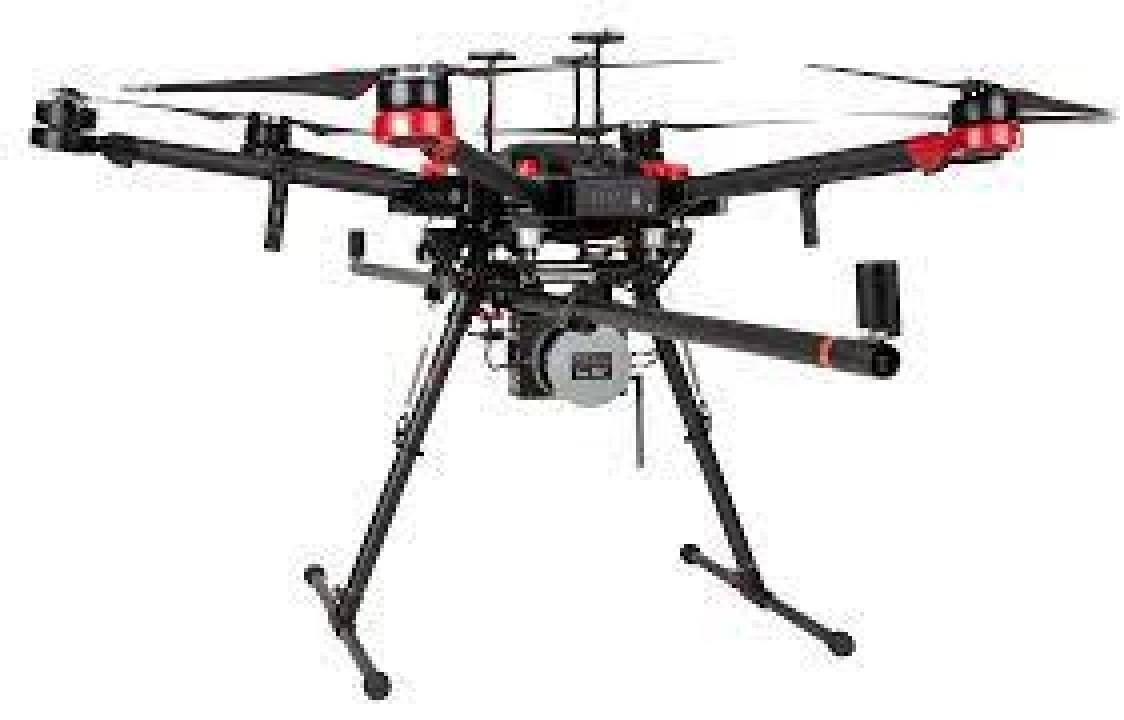
DJI Matrice 600 with Geodetics LiDAR
Manufacturer: DJI
DJI Matrice 210 with Zenmuse X5S (Multispectral)
Manufacturer: DJI

DJI Matrice 210 with Zenmuse X5S (RGB)
Manufacturer: DJI

Video Gallery: